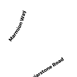
85 MARMION WAY
Owner Information
MENDELSOHN MICHAEL
85 MARMION WAY
ROCKPORT, MA 1966


Property Details
85 MARMION WAY is classified as a Single Family Ocean front (Modern/contemp).
The primary structure on this property was built in 2018. There are 8,480ft2 of built area within this property. There is 5,195ft2 of residential/living space within this property. This property is listed as having 7 rooms.
85 MARMION WAY is valued at $2,401,200. The land is valued at $1,359,100 and the structures are valued at $1,030,300. There is an additional valuation of $11,800 on this property.
This property is in Zone R1. Confirm with local Zoning Board authorities to ensure there are no overlays or other easements on this property.
The most recent deed for 85 MARMION WAY is recorded at the local registrar in Book 35342, Page 49. 85 MARMION WAY was last sold on Wednesday, October 12, 2016 for $2,000,000.
Assessment data from fiscal year 2021.
Flood Data
This property is partially within the VE Zone (coastal flooding with wave action). Approximately 0.37 acres (46.15%) of the property is within this zone.
The base flood elevation for this flood zone is 22 feet.
This information is sourced from the FEMA National Flood Hazard Layer. See our full disclamer.
Broadband Internet Providers
| Provider | Type | Bandwidth (mbps) | |
|---|---|---|---|
| GCI Communication Corp. | Satellite | 0 | 0 |
| Viasat Inc | Satellite | 35 | 3 |
| Verizon New England Inc. | DSL | 15 | 1 |
| Comcast | Cable | 1000 | 35 |
| T-Mobile | Fixed Wireless | 25 | 3 |
| VSAT Systems, LLC. | Satellite | 2 | 1 |
| HughesNet | Satellite | 25 | 3 |
Broadband service provider data from December 2020.